
Hike Monte Stivo
Monte Stivo and rifugio Prospero Marchetti mountain hut, easy summit hike on lake Garda
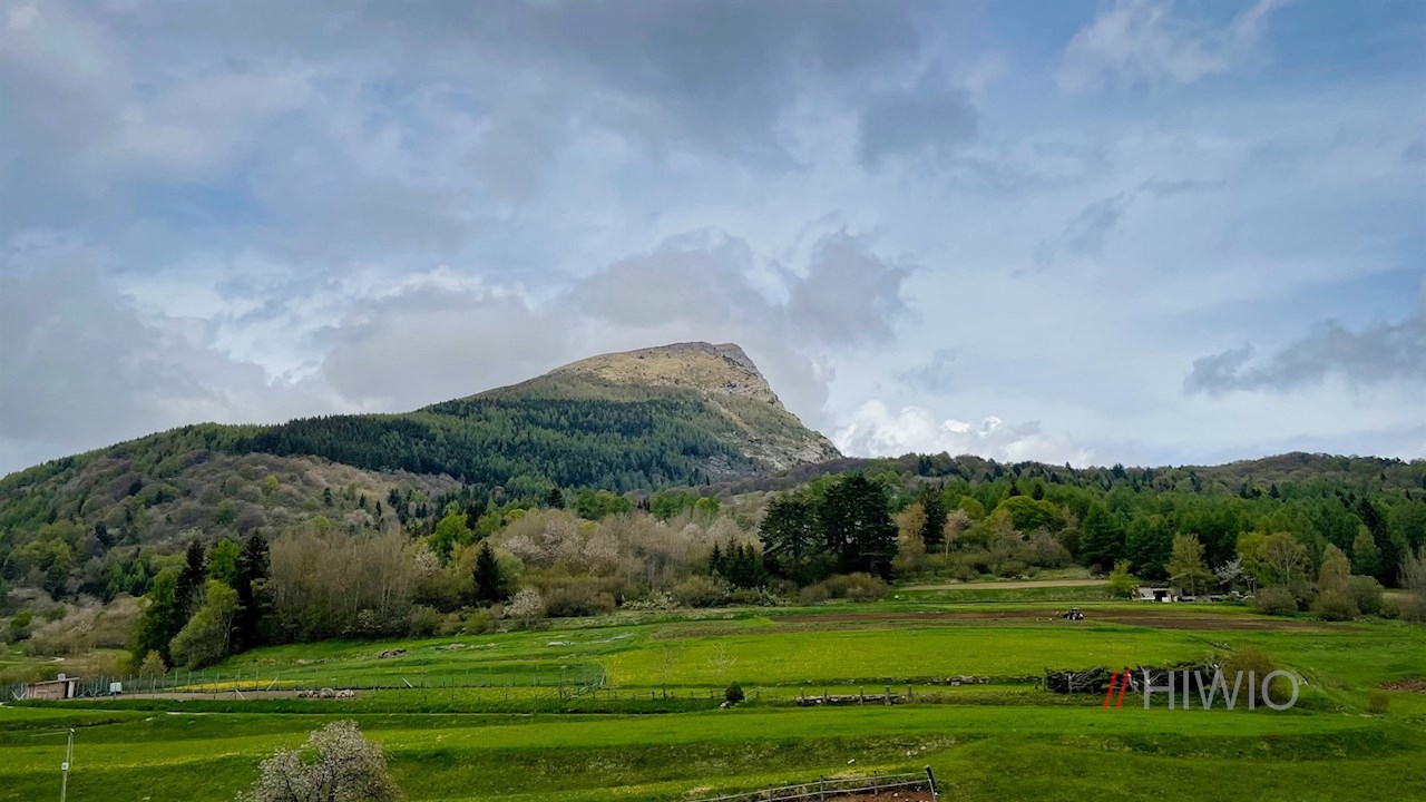
Monte Stivo near Arco offers a breathtaking view of lake Garda, the Sarca valley and the Val d' Adige valley. Somewhat below this 2,000 m high panoramic mountain, the popular rifugio Prospero Marchetti mountain hut invites you to stop for a break.

Route description Monte Stivo
The hike to monte Stivo begins at one of the hikers' parking lots above passo S. Barbara (access via Mori - Ronzo Chienis).
Here the hiking sign n. 608B indicates the ascent to monte Stivo, which rises in front of us. It first follows an asphalted road, which a little later becomes a wide hiking trail. The path climbs steadily through flowery meadows and increasingly dense woods.
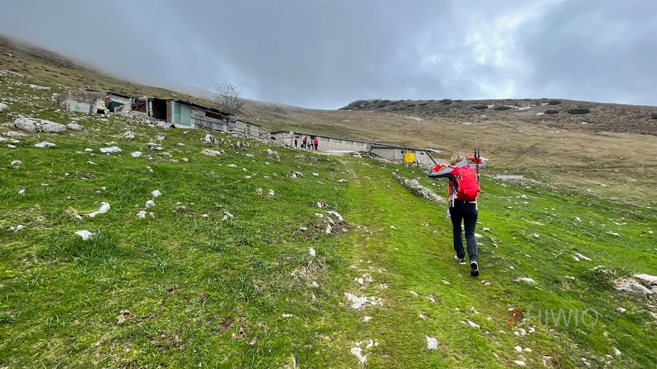
Behind the edge of the forest, the panoramic meadows of Le Prese stretch out. With lake Garda behind you, the path now climbs pleasantly to the stone mountain huts of malga Stivo, where it turns into a narrower mountain path.
This path first crosses the gentle alpine slopes, where delicate mountain flowers such as peonies, crocuses or primroses already flourish in May, and then zigzags up to the popular rifugio Prospero Marchetti mountain hut.
In the cozy moutain hut with the blue and white shutters, homemade Trentino delicacies are served from the beginning of May to the end of September (2021). But before that, you should climb to the Summit of the 2,050-meter monte Stivo, just a few minutes' walk away, where a breathtaking panorama unfolds: The view sweeps from Trento and Rovereto in the Val d'Adige valley to Arco, Riva and lake Garda shimmering in the sun. The names of the surrounding mountains are inscribed on the panoramic stone plateau next to the summit cross.
The descent from monte Stivo follows the outward route, which now opens up ever new perspectives of lake Garda.

Indicated walking time Monte Stivo
Hiking parking lot - Monte Stivo: 2:20 h
Infos Hike Monte Stivo
- Duration:04:00 h
- Length:10.4 km
- Height gain:825 m
- Min. elevation:1217 m
- Max. elevation:2057 m
Pictures Hike Monte Stivo


Height Profile
Weather

Current Values Near